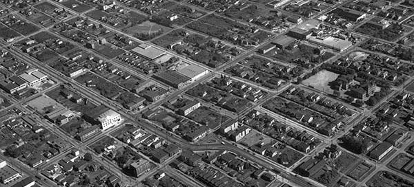
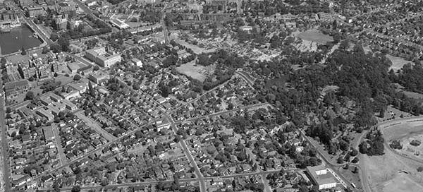
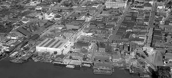
BO-47-1412 : Hastings & Clark Vancouver

 This is the area of Hastings Street and Clark Drive, in Vancouver, from 1947. The main street near the bottom of the image with the “S” curve in it is Hastings. You’ll notice several streetcars on Hastings. You can also just make our Commercial Drive near the top of the screen.

BO-54-142 : Victoria

 This is Victoria just west of Beacon Hill Park from 1954. You can still make out the Empress Hotel and the Parliament Buildings off in the distance.

BO-47-2578 : Hastings Burnaby

 This is Hastings Street in Burnaby from 1947. The street at the bottom of the image running left/right is Ingleton Avenue. Off near the top of the image, you can see the building which is now the Confederation Community Center on Willingdon Avenue. You also get a good view of Pender and Albert Streets.

59-262 : Park Royal Shopping Center

 This is the Park Royal Shopping Center in West Vancouver from 1959. Back then, only the “North Mall” existed. The “South Mall” didn’t open until 1978. You can also just make out the Toll Booths for the Lions Gate Bridge which weren’t removed until 1963.

BO-54-232 : Haney Bypass

 This is a view of Haney from 1954. It’s the area of what is now the Haney Bypass. The two streets that you see coming down toward the river are 223rd and 224th Streets. On the far right you can just make out the Port Haney Brick & Tile Company. What there was of “downtown”…

58-74 : Mt. Pleasant Vancouver

 This is the Mount Pleasant area of Vancouver from 1958. The photo looks North towards Strathcona and Downtown East Side. You get a good view of Main Street, Kingsway and the train yards at Terminal.