 Cart - 0
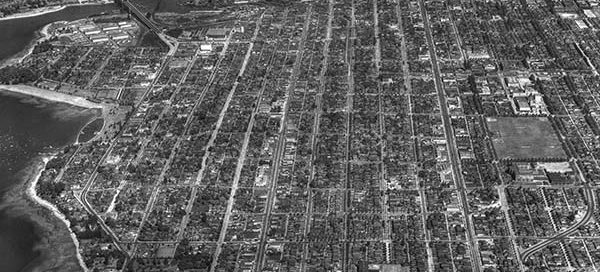
19
December
BO-49-23 : Kitsilano Overview
This is a somewhat higher altitude overview of the Kitsilano area of Vancouver from 1949.
Hello, it is with a heavy heart that I have to announce the upcoming shutdown of Vintage Air Photos. My hosting provider has increased rates for storage and the very large images this website uses now cost more in a month than the website makes per year. I will try to keep the website up for several more weeks but I imagine Vintage Air Photos will go offline mid-October. If there are any images you would like to keep viewing, now would probably be a good time to make a purchase. Thanks for all the views over the years.
This is a somewhat higher altitude overview of the Kitsilano area of Vancouver from 1949.
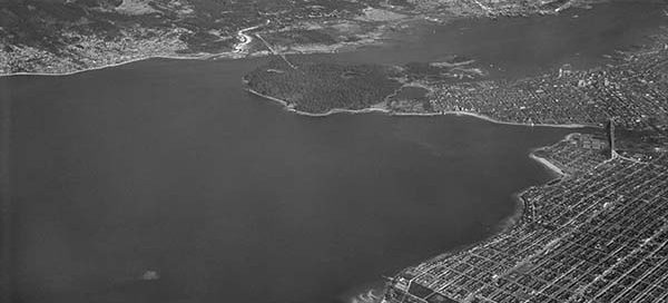
This is a “high altitude” view of the Jericho Beach Air Station from 1947. I haven’t been posting any of the higher altitude photos because you can’t see much ground detail, but this was a special request. It seems to be the only photo that shows the entire Air Station. You also get a unique…
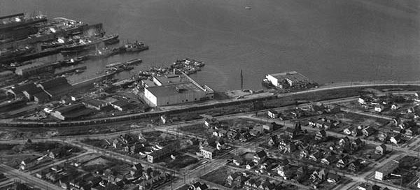
This is the BC Ice and Cold Storage building in the Hastings-Sunrise area of Vancouver from 1950. The main street running left/right near the lower part of the image is Dundas Street. The street in the lower-right corner is North Nanaimo Street. This entire area seems to have turned into apartment buildings.
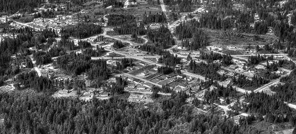
This is the Capilano Highlands area of North Vancouver from 1950. Right at the center of the photo you can see the intersection of Edgemont Boulevard and West Queens Road.