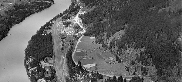
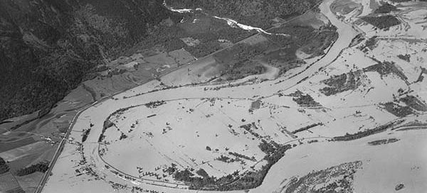
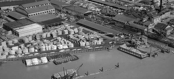
BO-48-3590 : Massey Tunnel Site

 There is a bit of uncertainty with the exact location of this image, but it appears to be roughly the location of the George Massey Tunnel from November 22, 1948. It looks like the tunnel will end up going through the field in the lower-left corner of the image. Construction of the tunnel didn’t begin…

BO-48-2734 : Canada Creosoting Ltd.

 This is an image of Canada Creosoting Company Ltd in North Vancouver from 1948. The mill was located just west of what is now the North Shore Auto Mall. The entire area has yet to be filled in. You can see the water runs right up to the railway tracks near 1st Avenue.

BO-48-3305 : Keith Road, North Vancouver

 This is Keith Road West in North Vancouver from 1948. The two cross streets are Forbes Avenue and Jones Avenue. You can see the St. Thomas Aquinas Regional Secondary School in the lower-left corner and Mahon Park in the background.

BO-48-3089 : The Mission Region Flood

 This is a higher altitude shot of the area east of Mission during the big flood of 1948. The flood affected Nicomen Island, Deroche, Dewdney, Dewdney Peninsula, Hatzic and Mission Flats. A total of 13,135 acres of agricultural land were flooded by the Fraser with 514 houses lost to flood waters.

BO-48-3091 : Fort Langley Flood

 This is a higher altitude shot of Fort Langley during the big flood of the Fraser River in 1948. Water completely surrounded the city and Fort Langley was cut off from the rest of the world for almost two weeks.

BO-48-3405 : Eburne Sawmill, Marpole

 This is the Eburne Sawmill in the Marpole area of Vancouver from 1948. The sawmill used to sit roughly where the Grant-McConachie Way Bridge now resides. The street you see going off the top of the image is SW Marine Drive.