 Cart - 0
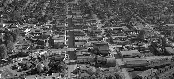
11
May
BO-48-3542 : Main Street Penticton
This is Penticton from 1948. The intersection at the bottom of the image is Main Street and Lakeshore Drive East.
This is Penticton from 1948. The intersection at the bottom of the image is Main Street and Lakeshore Drive East.
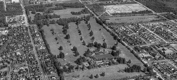
This is the Shaughnessy area of Vancouver from 1948. Old Shaughnessy Golf Course is now the site of the VanDusen Botanical Garden. There’s an interesting “camp” at the top of the image that looks like a military base. I count approximately 80 buses in the parking lot. If anyone has any information about this, please…
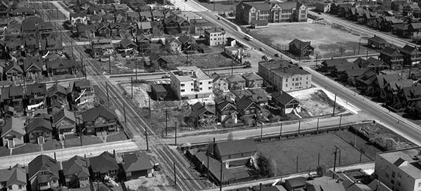
This is a low altitude photo of the Kitsilano area of Vancouver in 1948. You can see Henry Hudson Elementary (100 years old) just toward the top-right of center. Then two buildings further back lies the Seaforth Armoury.
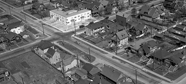
This is a really low altitude photo of a subdivision in the Kitsilano area of Vancouver in 1948. The intersection near the middle of the screen is West 1st Avenue and Maple Street. At the top of the image you’ll see Henry Hudson Elementary.
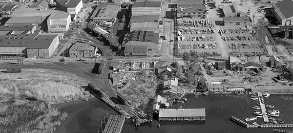
The city of Kelowna in 1948 is practically unrecognisable. The street at the front of the picture is Water Street. The next one back is St. Paul Street.
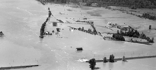
In 1948, a cool spring and warm summer led to a sudden melting of the winter snow pack that caused major flooding throughout the Lower Mainland. On June 3rd the Hatzic dyke, just east of Mission, gave way.