Cart - 0
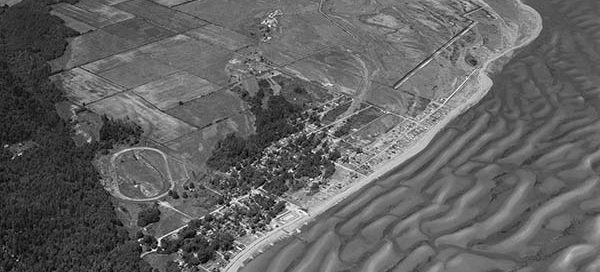
22
June
54-61 : Tsawwassen USA Boundary Bay
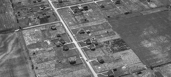
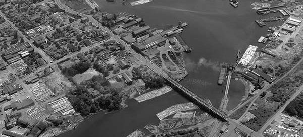
This is a photo right along the USA / Boundary Bay border taken in 1954. It is taken from the Point Roberts side of the border looking north-west towards Tsawwassen. It appears as though the US border is situated just above the horse race track.