Cart - 0
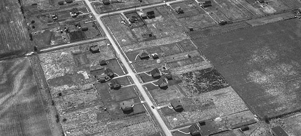
14
January
54-30 : Gibbons Drive, Richmond
This is Gibbons Drive in Richmond from 1954, approximately where James Thompson Elementary School now sits. The intersection at the very top of the image is No. 1 Road and Granville Avenue.
This is Gibbons Drive in Richmond from 1954, approximately where James Thompson Elementary School now sits. The intersection at the very top of the image is No. 1 Road and Granville Avenue.

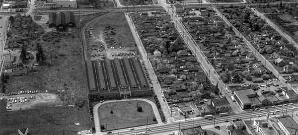
This is the Collingwood area of Vancouver from 1955. The main street near the bottom of the image is East 41st Ave and the street on the left running up/down with the “zig-zag” in it is Nanaimo Street.
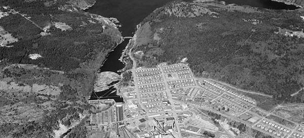
This is the Station Square area of Burnaby from 1958. You get a great view of the Ford Motor Plant, which has several of it’s own posts. The major street just below the Ford Plant is Kingsway. To the right of the Ford Plant you see Silver Avenue, McKay Avenue and Willingdon Avenue.
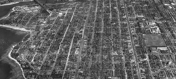
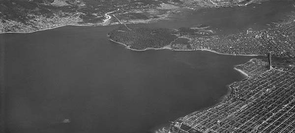
This is a somewhat higher altitude overview of the Kitsilano area of Vancouver from 1949.
This is a “high altitude” view of the Jericho Beach Air Station from 1947. I haven’t been posting any of the higher altitude photos because you can’t see much ground detail, but this was a special request. It seems to be the only photo that shows the entire Air Station. You also get a unique…
This is the BC Ice and Cold Storage building in the Hastings-Sunrise area of Vancouver from 1950. The main street running left/right near the lower part of the image is Dundas Street. The street in the lower-right corner is North Nanaimo Street. This entire area seems to have turned into apartment buildings.
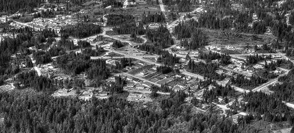
This is the Capilano Highlands area of North Vancouver from 1950. Right at the center of the photo you can see the intersection of Edgemont Boulevard and West Queens Road.
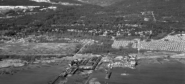
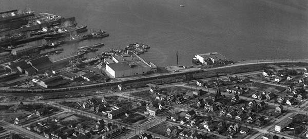
This is an image of Canada Creosoting Company Ltd in North Vancouver from 1948. The mill was located just west of what is now the North Shore Auto Mall. The entire area has yet to be filled in. You can see the water runs right up to the railway tracks near 1st Avenue.