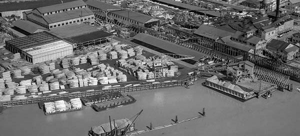
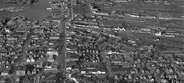
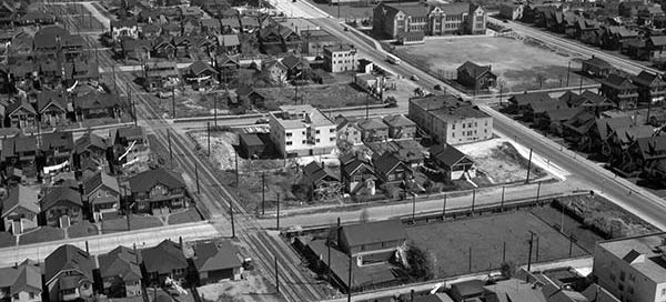
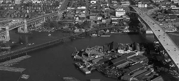
BO-48-3405 : Eburne Sawmill, Marpole

 This is the Eburne Sawmill in the Marpole area of Vancouver from 1948. The sawmill used to sit roughly where the Grant-McConachie Way Bridge now resides. The street you see going off the top of the image is SW Marine Drive.

58-64 : West Georgia

 This is a shot looking up West Georgia Street in Vancouver from 1958. You can see from the viaduct right up to Stanley Park. You can also see right up Robson Street.

BO-47-1412 : Hastings & Clark Vancouver

 This is the area of Hastings Street and Clark Drive, in Vancouver, from 1947. The main street near the bottom of the image with the “S” curve in it is Hastings. You’ll notice several streetcars on Hastings. You can also just make our Commercial Drive near the top of the screen.

58-74 : Mt. Pleasant Vancouver

 This is the Mount Pleasant area of Vancouver from 1958. The photo looks North towards Strathcona and Downtown East Side. You get a good view of Main Street, Kingsway and the train yards at Terminal.

BO-48-3047 : Old Shaughnessy Golf Course

 This is the Shaughnessy area of Vancouver from 1948. Old Shaughnessy Golf Course is now the site of the VanDusen Botanical Garden. There’s an interesting “camp” at the top of the image that looks like a military base. I count approximately 80 buses in the parking lot. If anyone has any information about this, please…

BO-48-2811 : Kitsilano

 This is a low altitude photo of the Kitsilano area of Vancouver in 1948. You can see Henry Hudson Elementary (100 years old) just toward the top-right of center. Then two buildings further back lies the Seaforth Armoury.

BO-47-1021 : Shaughnessy

 This is the Shaughnessy area of Vancouver from 1947. Old Shaughnessy Golf Course, near the center of the image, became the VanDusen Botanical Garden 28 years after this photo was taken. Vancouver College can be seen in just left and below the center of the image.