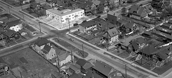
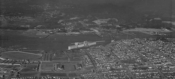
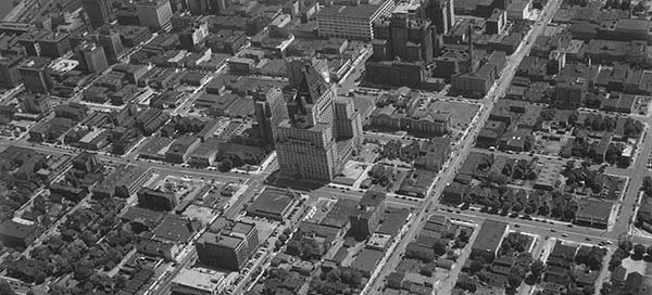
BO-48-2813 : Kitsilano

 This is a really low altitude photo of a subdivision in the Kitsilano area of Vancouver in 1948. The intersection near the middle of the screen is West 1st Avenue and Maple Street. At the top of the image you’ll see Henry Hudson Elementary.

BO-47-1445 : Downtown Vancouver

 This image is of downtown Vancouver in 1947. You can see St. Paul’s Hospital in the lower-left corner. Looking off to the north-east, you can see the Hotel Vancouver, the Courthouse (now the Vancouver Art Gallery) and the North Shore Mountains. You can even make out the Orpheum, Vogue and Capitol theaters off to the…

BO-46-140 : Lost Lagoon

 A higher altitude shot of the southern half of Stanley Park and part of downtown Vancouver. It was taken May 26, 1946. Second Beach seems to be really bustling with activity.

BO-47-800 : Coal Harbour

 This is Coal Harbour in Vancouver from 1947 looking toward Stanley Park. You’ll see the harbour looks very different than it does today. Although this image doesn’t have the clarity of some of the others, it’s still a great view.

BO-46-124 : False Creek / Granville Island

 This 1946 photo is taken from downtown Vancouver looking south-west to Granville Island. It includes the old Granville Bridge, the Burrard Bridge and the old railway bridge over False Creek. You can also see a bit of the downtown end of Davie Village.

BO-56-395 : Vancouver Hastings-Sunrise Area

 This is East Hastings Street area of Vancouver near the Pacific National Exhibition in 1956. You can see the Second Narrows Bridge is under construction. Empire Stadium, Hastings Racecourse and the Kootenay Bus Loop are also visible.