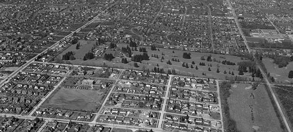
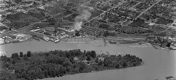
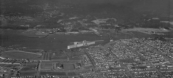
BO-47-1021 : Shaughnessy

 This is the Shaughnessy area of Vancouver from 1947. Old Shaughnessy Golf Course, near the center of the image, became the VanDusen Botanical Garden 28 years after this photo was taken. Vancouver College can be seen in just left and below the center of the image.

BO-47-2573 : Burrard Dry Dock

 This is the Burrard Dry Dock site in North Vancouver from 1947. It was situated at the base of Lonsdale Avenue and built over 450 ships in 87 years. You can also see the North Vancouver Ferry Company before it became the SeaBus.

BO-48-3111 : Hatzic Flood

 In 1948, a cool spring and warm summer led to a sudden melting of the winter snow pack that caused major flooding throughout the Lower Mainland. On June 3rd the Hatzic dyke, just east of Mission, gave way.

BO-46-2 : Alaska Pine Company

 This is New Westminster overlooking Poplar Island and the site of the Scott Paper mill. In 1946, when this picture was taken, it was still called the Alaska Pine Company. You can also make out 6th Ave and 12th street.

BO-56-395 : Vancouver Hastings-Sunrise Area

 This is East Hastings Street area of Vancouver near the Pacific National Exhibition in 1956. You can see the Second Narrows Bridge is under construction. Empire Stadium, Hastings Racecourse and the Kootenay Bus Loop are also visible.